
July 10, 2026
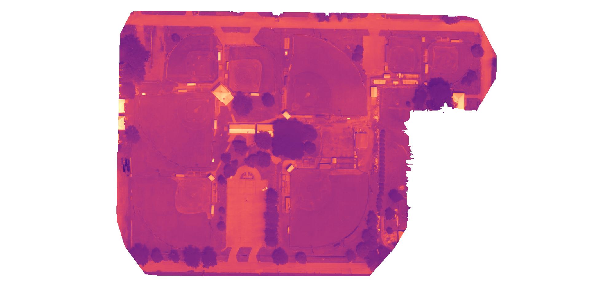
Thermal Orthomosaic
Seeing the Invisible: Thermal Drone Mapping for Sports Complexes
Managing a large sports complex requires constant observation and maintenance. While traditional ground inspections can spot obvious damage, they cannot see what is happening beneath the surface. Using high-resolution thermal imaging captured by the DJI Mavic 3 Thermal, we can provide facility managers with a comprehensive, bird's-eye view of their entire park's health and infrastructure in a single flight—identifying critical issues long before they become costly repairs.
1. Precision Irrigation & Turf Health
Thermal imaging detects the surface temperature of the turf canopy. Since plants cool themselves through transpiration, a spike in temperature often indicates water stress, poor root function, or localized dry spots. Catching these anomalies early allows greenkeepers to apply precision irrigation exactly where it is needed, which saves water and prevents over-saturation.
2. Underground Drainage Analysis
After heavy rainfall, aerial thermal monitoring shows exactly how water moves across the surfaces, where it pools, and which areas are drying too slowly. This provides objective visual data to help plan aeration strategies, modify surface levels, or install targeted drainage lines.
3. Infrastructure & Facility Inspections
The data isn't limited to the grass. A single thermal map also scans the roofs of concession stands, dugouts, and maintenance buildings for trapped moisture or failing insulation. We can quickly pinpoint flat roof leaks without ever setting foot on a ladder.
4. Electrical Safety Sweeps
Field lighting is a massive investment. Thermal data can easily detect abnormal heat signatures in electrical boxes, transformers, and light poles, allowing maintenance teams to address failing components before a total system blackout occurs during a game.